
About Routie
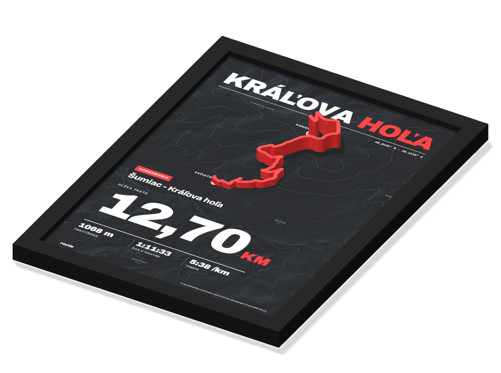
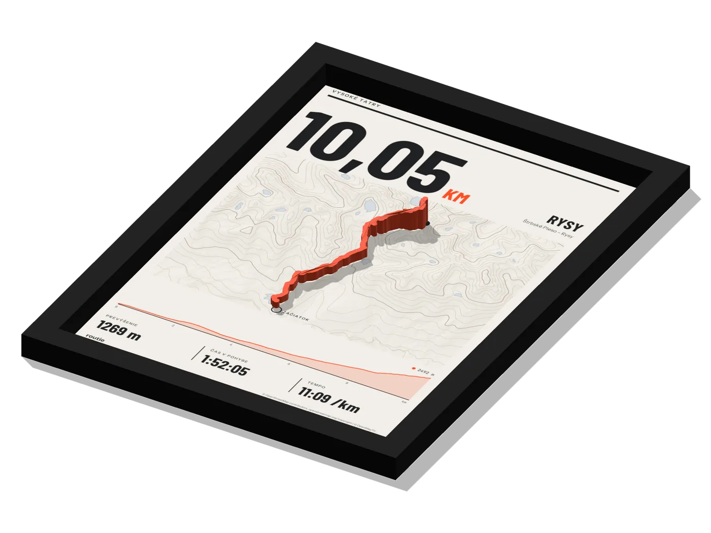
We make prints on which the route stands out from the map to the real terrain. The hill you ran up really is higher on the print.
- Relief
- 4-15 mm
- Maps
- OpenStreetMap
What we do
For most people an activity on their watch or in an app is just a line on a screen and a few numbers. Behind that line, though, is a particular day, a particular hill and a particular climb. We turn it into an object you can hang on your wall.
We put the route from your file together with the map and scale the heights from the recording to millimetres. We 3D-print the route, stick it to the glass above the map and frame the print. We prepare the ready-made prints of well-known mountain routes the same way.
Why 3D
On a flat map a flat stretch and a climb to the summit look the same. You remember the climb in your legs, not in the line. That is why we want to show it so that you can see it and touch it.
How we work
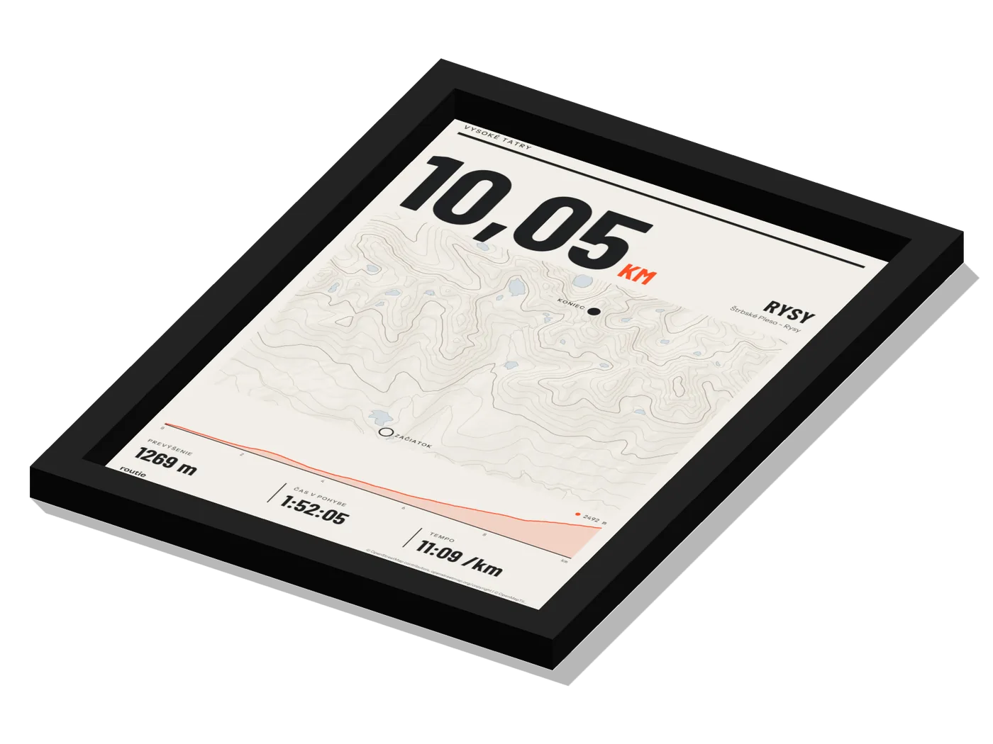
We take the shape and the heights of the route from your recording. We build the base map from OpenStreetMap.
In the configurator you see a 3D preview and the flat print. You order only what you have seen.
Upload a route, design a print and order. You do not need to create an account.
Questions about orders and complaints are handled directly by the team at info@routie.sk.
Map data and licences
We build the maps and the heights from open and licensed sources. Every print credits OpenStreetMap and OpenMapTiles, a relief source only where its data reaches the map, and the sources page lists all the authors.
- © OpenStreetMap contributorsmap data
- © OpenMapTilesmap tiles
- OpenFreeMapmap tile build
- Mapterhornrelief
- Copernicus GLO-30terrain elevation data
Company details
- Business name
- Denva s. r. o.
- Registered office
- Ekoosada 3194/235, 925 22 Veľké Úľany, Slovakia
- Company ID (IČO)
- 55376681
- Tax ID (DIČ)
- 2121975273
- VAT ID (IČ DPH)
- SK2121975273
- Registration
- Business Register of the District Court Trnava, section Sro, file no. 53995/T
- Contact
- info@routie.sk