
How a print with a 3D route is made
From your recording we take the coordinates and the height of every point and scale them to millimetres of relief. We 3D-print the route, stick it to the glass above the map and frame it all.
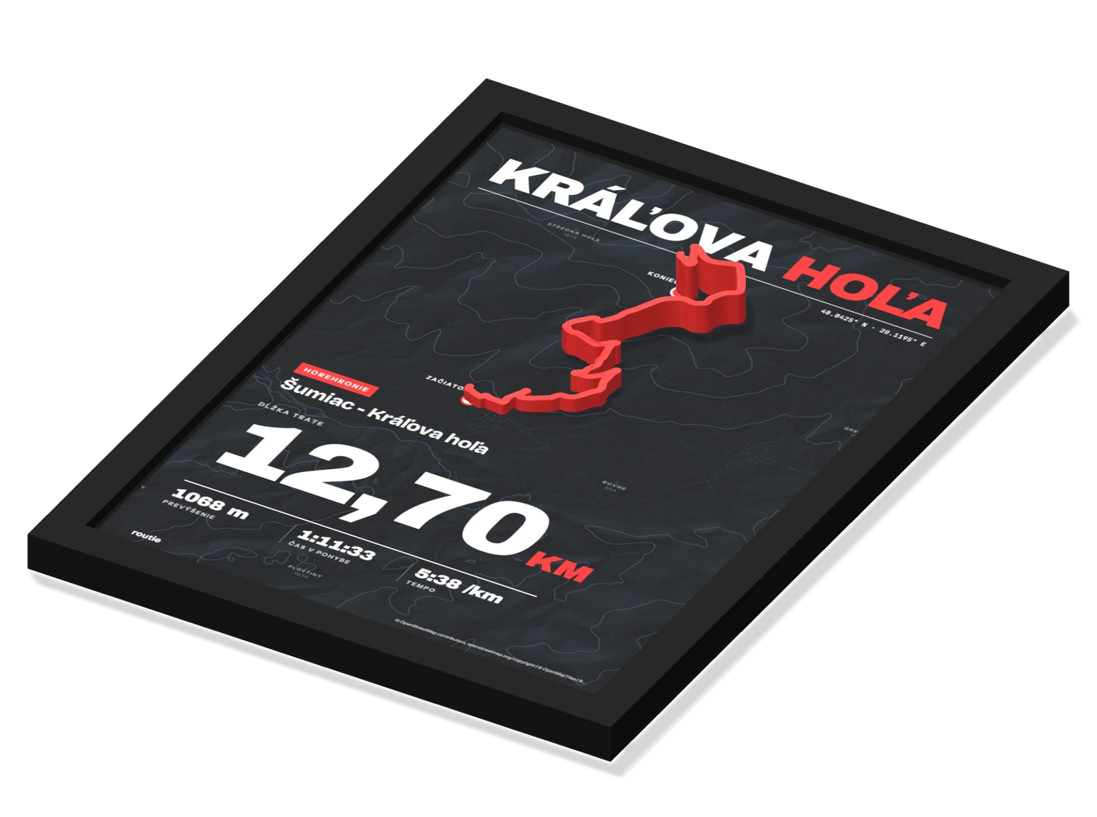
A route from your watch or app
It starts with an activity recording. Every point of the route carries a latitude and a longitude, from which we put together the exact shape of the route.
- A GPX, TCX or KML fileExport it from your watch or app and drag it into the configurator.
- An activity linkStrava, Garmin and more. We show you how to download the file from the activity.
- A sample routeNo recording to hand? Try Rysy, Kriváň, Kráľova hoľa or Ďumbier.
<trk>
  <trkseg>
    <trkpt lat="…" lon="…">
      <ele>…</ele>
      <time>…</time>
    </trkpt>
    <trkpt lat="…" lon="…">
      <ele>…</ele>
    </trkpt>
  </trkseg>
</trk>Heights from your recording, scaled to millimetres
We take the height of every point from your recording. Then we scale the elevation profile to the relief, from the lowest to the highest point of the route.
About 14.0 mm in front of the front edge of the frame. The glass sits about 1 mm behind it, so even the low sections will be about 3.0 mm in front of the frame.
Max. 20 mm above the glass · standard 4 + 11 mm
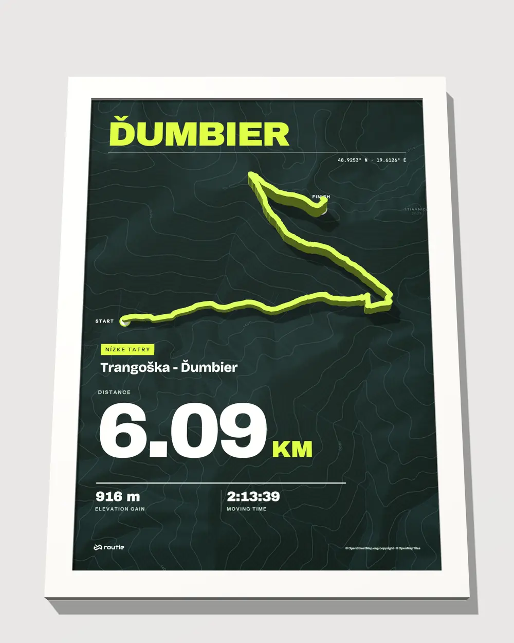
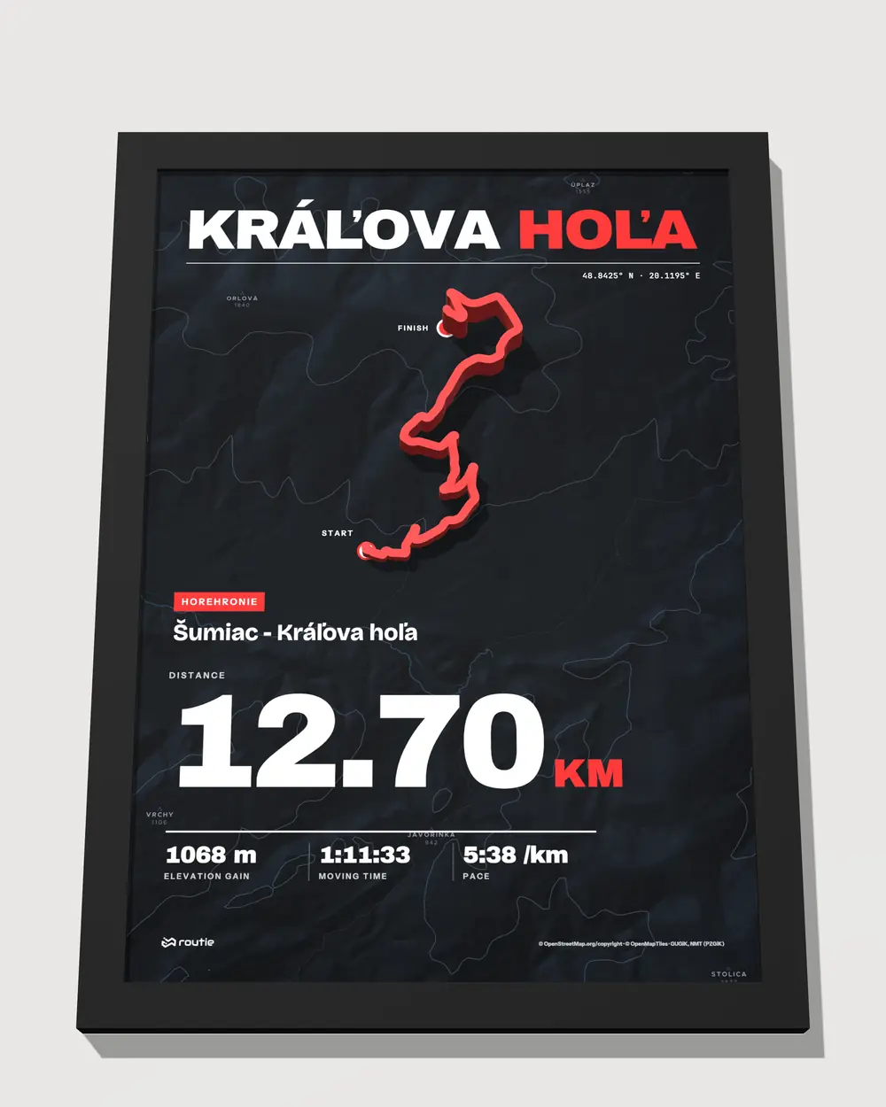
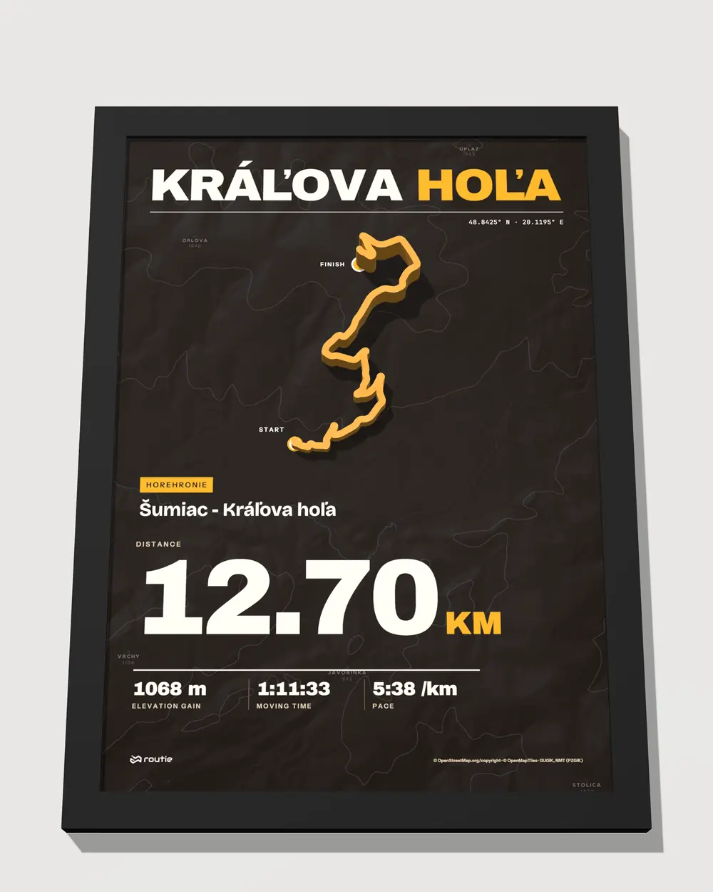
Template and theme
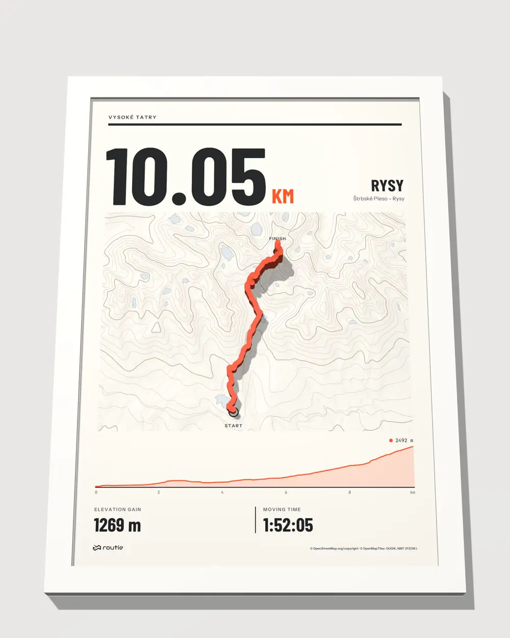
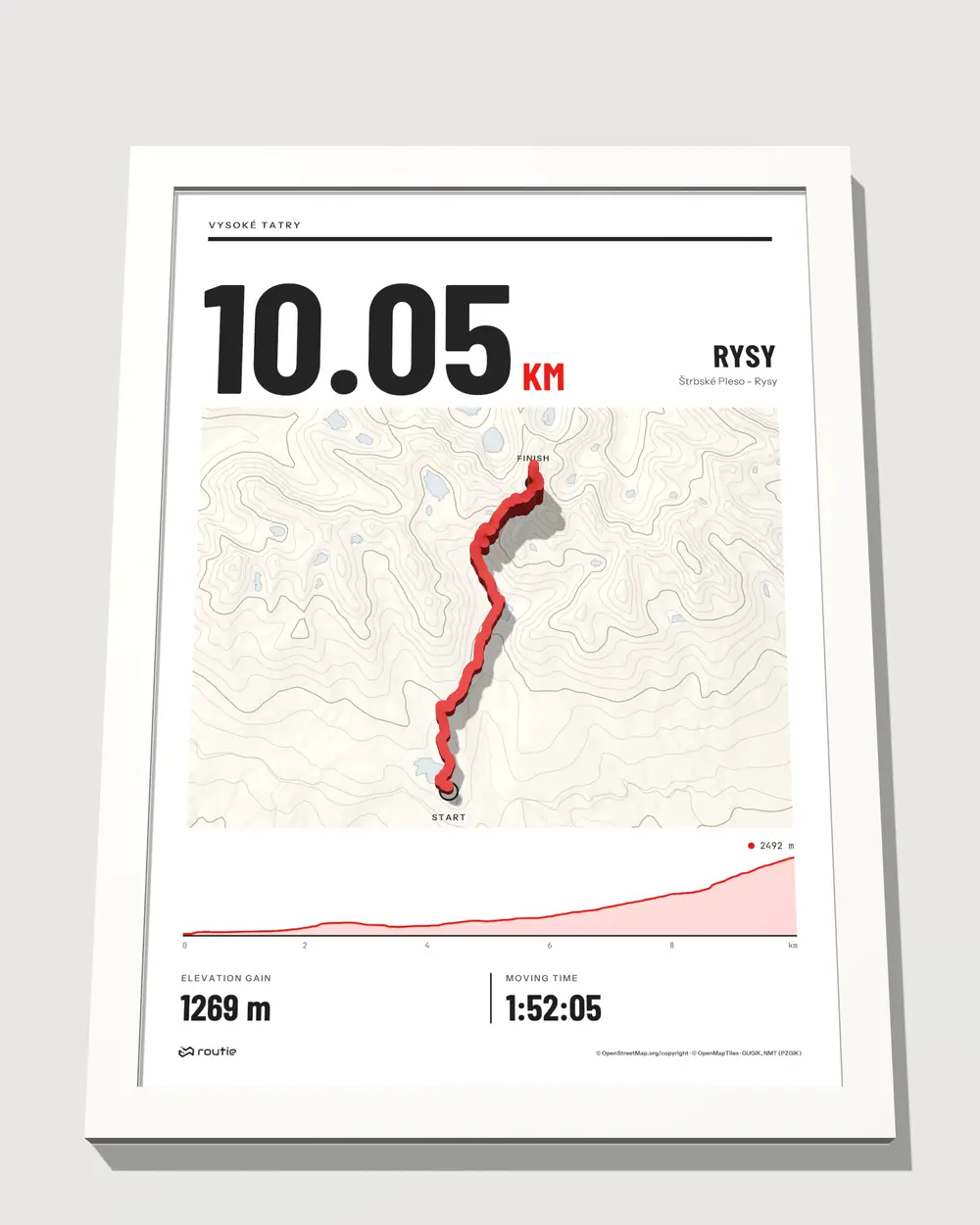
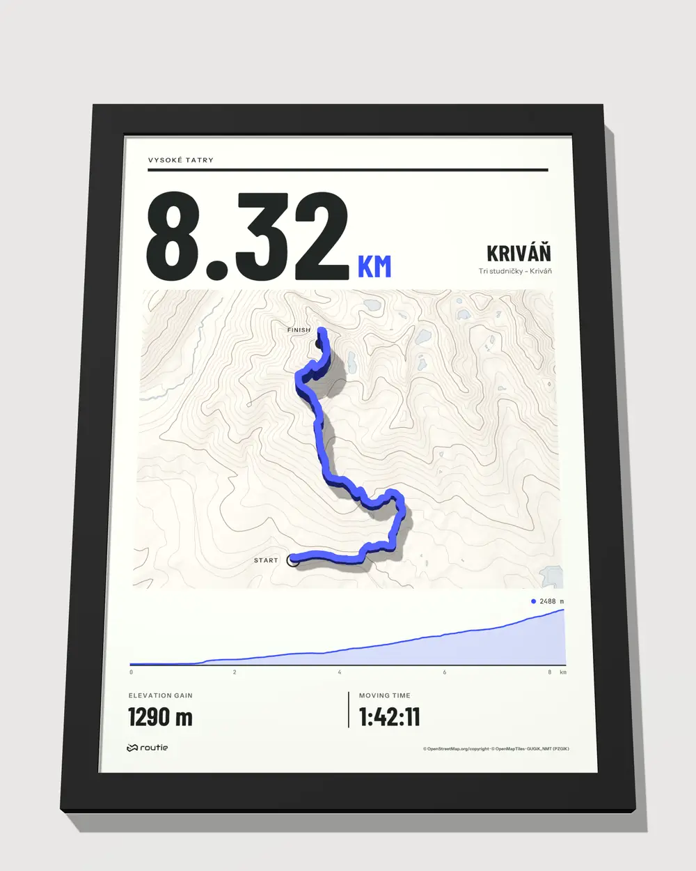
The template sets the layout of the print, the theme the colours of the map and the route. You see every combination straight away on your route.
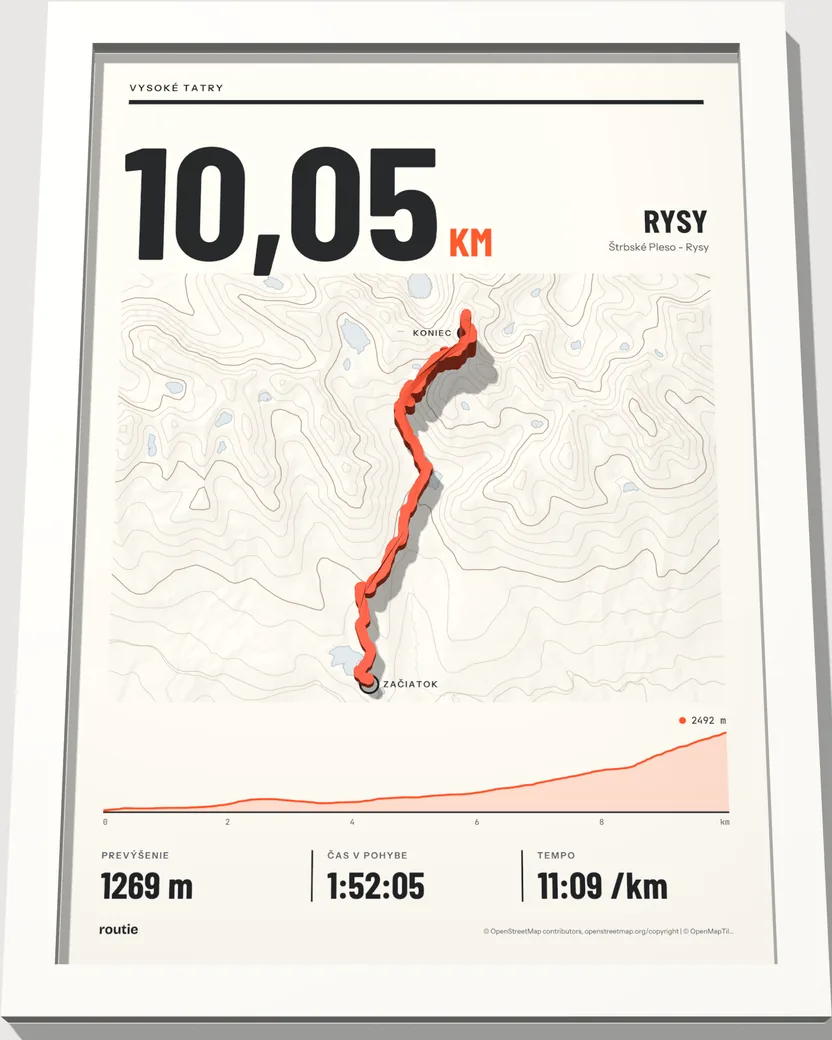
A big figure with the route’s length, the map and the elevation profile. For running, cycling and hiking.
The styles in the configurator are sorted by sport: Running, Cycling, Hiking, Motorsport. If the template allows both orientations, you switch the print to landscape.
Texts and figures on the print
Write what the print should say. An empty field does not appear, and you see every change straight away in the preview.
- 1Title for example the name of the summit or the raceMax 60
- 2Subtitle town, country, or from where to whereMax 90
- 3Event name if the route belongs to a raceMax 60
- 4Date in any formMax 40
- 5Figures elevation gain, highest point, length, time, paceOn / off
Made to measure
We make every print only after you order it. The route, the map and the texts are yours, so nothing is made for stock.
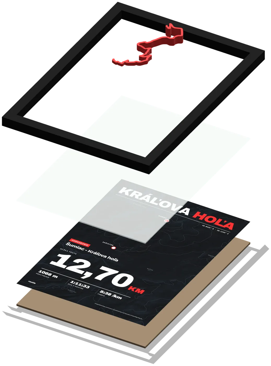
At every point the route’s height follows the height in the recording.
- 3D printing the route
We 3D-print the route in matt PLA in one colour, with its height following the profile.
- Printing the map
A map with contour lines, the title and the figures. The printed map sits right behind the glass.
- Sticking it to the glass
We line the route up exactly with the map and stick it to the glass, so it stands out in front of the frame.
- Assembly
Frame, glass, map and the backing board with a hook and a stand.
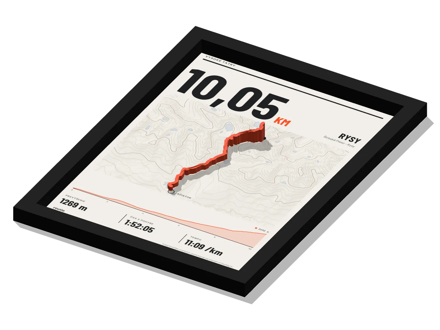
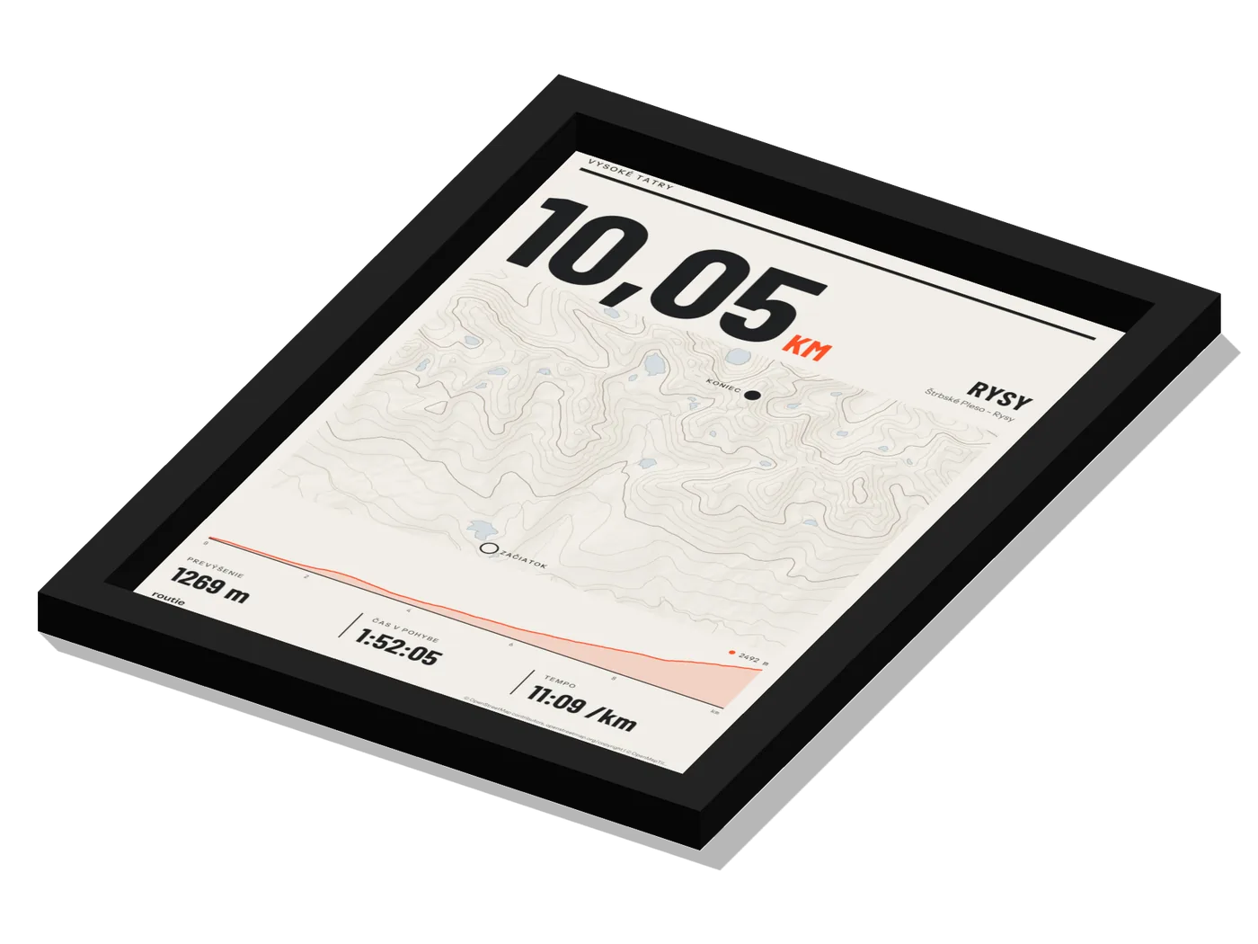
A flat map and a 3D relief
Move the dividing line. On a flat map you cannot see the climb; in relief you see it even from the side.
Delivery of your finished print
The print arrives framed and ready to hang. The backing board has a hook and a stand, so you can hang it on the wall or stand it on a shelf.
Delivery in 4 to 8 days · free from €150
From your order to your wall
- OrderYou confirm the preview
By adding it to the basket you confirm that the design is correct. You pay by card or bank transfer.
- ProductionPrinting and assembly
We print the route and the map and assemble the print in its frame.
- DispatchWe pack it and hand it over
We hand the print over to Packeta for a pickup point or for the courier.
- DeliveryWithin 8 days
Unpack it, hang it up or stand it on a shelf.
What we build the map from
Roads, paths, waterways and names.
The base from which we draw the map style.
Shading and contour lines of the terrain on the map.
Terrain heights for the map’s relief.
Frequently asked questions
Where do the route’s heights come from?
From your recording. We scale the heights your watch or app recorded to the route’s relief.
Can I set how high the route stands out?
Yes. In the advanced relief settings you change the height at the lowest point, the extra elevation and the route width. The highest point can be at most 20 mm above the glass.
What if my route is almost flat?
The relief is always scaled to the full range from the lowest to the highest point, so even a small elevation gain shows on the print.
Will I see the print before I order?
Yes. The configurator shows a 3D preview and the flat print, and it changes with every edit. No sign-up is needed.
How long does delivery take?
Delivery takes 4 to 8 days including production, depending on the delivery method. To a pickup point for €3.48, by courier for €6.20, free from €150.
Can I return a print?
We make a print of your route to your specifications, so it carries no right of withdrawal from the contract. If it arrives damaged, write to info@routie.sk.
Try it on your own route
Upload a file and you see the preview before you order. No sign-up needed, a A5 print with frame from €40.