Mont Blanc loop trek: route, stages, huts and difficulty
About 170 km, roughly 10,000 m of ascent and three countries. We follow the loop around Mont Blanc anticlockwise from Les Houches, pass by pass, and cover how many days to allow, how hard it really is and how hut bookings work.
, 8 min read
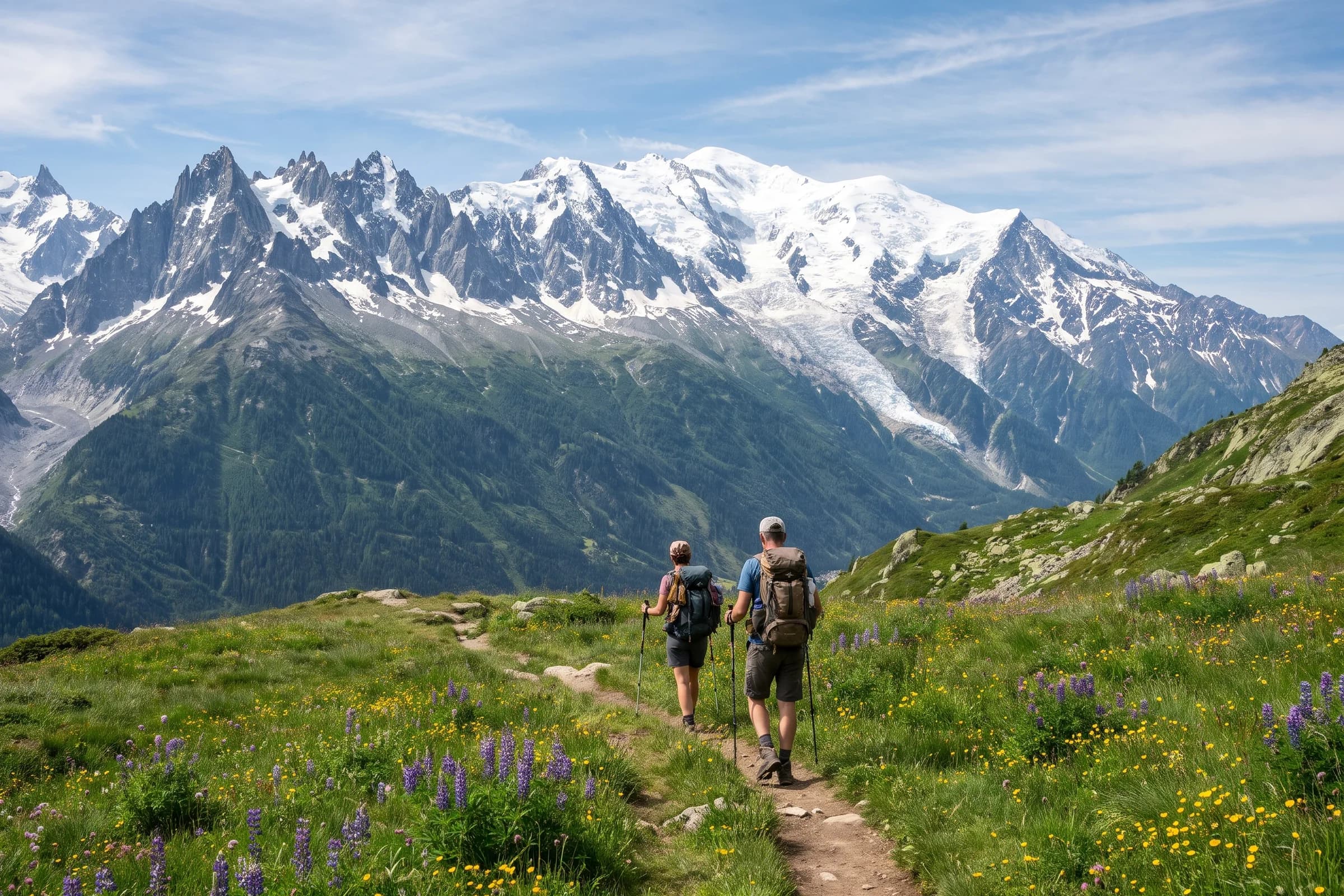
The loop around the Mont Blanc massif, the trek most walkers know as the Tour du Mont Blanc, is a multi-day hut-to-hut hike through three countries. The official route website gives it as about 170 km (roughly 106 miles) with around 10,000 m of ascent, crossing France, Italy and Switzerland. Most people walk it in 7 to 12 days, usually in 10 or 11 stages, and most go anticlockwise, which is also the best-waymarked direction. You sleep in mountain huts or valley guesthouses and carry your pack the whole way.
Below is the route section by section, with the passes and their heights, followed by the questions people ask before booking: how many days, how hard, which direction and whether you need to reserve the huts.
The route at a glance
Distance: about 170 km. The line on our loop print measures 166.01 km.
Ascent: around 10,000 m. Our line has 10,027 m.
Duration: 7 to 12 days. The official site describes three paces: athletic in 7 days, balanced in 9 to 10, unhurried in 11 to 12.
Stages: usually 10 or 11, each 10 to 20 km, with climbs that can exceed 1,000 m in a day.
Countries: France, Italy and Switzerland.
Direction: anticlockwise is the most common and the best waymarked.
Season: mid-June to mid-September, when the passes are clear of snow and the huts are open.
The route, section by section
The official site splits the loop into 10 or 11 daily stages that you can rearrange to suit your pace, so rather than fixing stage numbers we follow the route between its main passes and valleys. The direction is anticlockwise from Les Houches, the same way the line runs on our print. Pass heights and day lengths come from the itinerary published by the Chamonix valley tourist office.
Les Houches to Les Contamines
The loop starts at Les Houches, at the lower end of the Chamonix valley, and the first day runs through the Val Montjoie to Les Contamines. In the Chamonix tourist office itinerary this day is 12 km with 700 m of ascent and 1,300 m of descent: a gentle start that lets you settle into the weight of your pack before the big passes.
Col du Bonhomme to Les Chapieux
From Les Contamines the trail climbs past the chapel of Notre-Dame de la Gorge at the head of the Val Montjoie to the Col du Bonhomme (2,329 m), then on to the Col de la Croix du Bonhomme (2,479 m), before dropping towards the Chapieux valley. The same itinerary gives 16 km, 1,300 m up and 1,000 m down, which makes it one of the longer days on the loop.
Col de la Seigne to Courmayeur
The Col de la Seigne (2,516 m) is on the border between France and Italy, and the official site calls it an iconic crossing. Just below it on the Italian side is the Casermetta, an environmental education centre run by Espace Mont-Blanc. The trail then descends the Val Veny to Courmayeur, whose historic centre, the official site says, keeps a genuine alpine atmosphere. You are roughly halfway round, which makes it the natural place for a rest day.
Val Ferret and the Grand Col Ferret
From Courmayeur the loop heads up the Italian Val Ferret and climbs from Arnuva to the Grand Col Ferret (2,537 m), the border between Italy and Switzerland. It is the highest point of the line on our print. On the Swiss side you descend to La Fouly and continue down the valley towards Champex.
Champex, Trient and the Col de Balme
The Swiss section takes in Champex, the crossing to the Col de la Forclaz and the village of Trient, whose pink church the official site lists among the places worth stopping for. In the Chamonix tourist office itinerary the stretch from Champex to the Col de la Forclaz goes by the Bovine and Giète pastures. From Trient the trail climbs to the Col de Balme (2,191 m) and crosses from Switzerland back into France.
Back to Les Houches
From the Col de Balme the trail drops to Le Tour at the top of the Chamonix valley. The line on our print then runs back along the slopes above the valley to Les Houches, closing the loop. The shorter six-day itinerary from the Chamonix tourist office ends at Le Tour with a bus back to Chamonix; the full loop walks all the way round to where it started.
Waymarking and variants
A green route logo is common to the whole loop. Beyond that, waymarks change with the country: white and red in France, yellow in Italy, and in Switzerland yellow on easier paths and white-red-white on mountain routes. The official site also mentions several variants of the main line, some more technical with higher viewpoints, others easier.
How hard is the Mont Blanc loop?
It is a mountain walk on waymarked trails rather than a climb. According to the official site, the difficulty lies in the duration, in carrying your pack and in the cumulative ascent, not in one hard step. Its rule of thumb: you should be able to walk for 6 hours with 1,000 m of ascent carrying a rucksack, and be ready to put your boots back on the next day.
If you have never done a multi-day trek, the official site suggests a two-day, one-night taster first, so you learn how your pack, your pace and a night in a hut work out before committing to the full loop. The stage breakdown is not fixed, so the days can be shortened or lengthened around your pace.
Huts, bookings and wild camping
The official site strongly recommends booking your nights and calls it essential in high season, when some huts can be fully booked several months ahead. A deposit is paid when you reserve. The member huts and guesthouses can be booked on the route’s official booking site, which also answers the common planning questions.
Bivouacking is regulated area by area: in some places it is allowed near the huts during limited hours, while in nature reserves it is prohibited outside designated areas, and it is not allowed on private land. Check the rules for each section before you go. The official site also asks walkers to stay on marked trails, carry out all waste, including biodegradable waste, and leave the flowers where they are.
When to go
The ideal season runs from mid-June to mid-September. In early June snow can still cover the waymarks on the passes; autumn brings shorter days, cold nights and possible snow on the summits. The official site publishes weather, snow and trail conditions, worth checking in the week before you set off.
The loop as a print
The line on our print runs from Les Houches by Courmayeur in Italy and Champex in Switzerland back to Les Houches: the whole loop, anticlockwise. We 3D-print the route in matte PLA and glue it onto the glass exactly above the route on the map. Its height follows the terrain, 4 mm at the lowest point and 15 mm at the highest by default, so the Col de la Seigne and the Grand Col Ferret really stand up from the print, and the higher stretches stand proud of the frame.
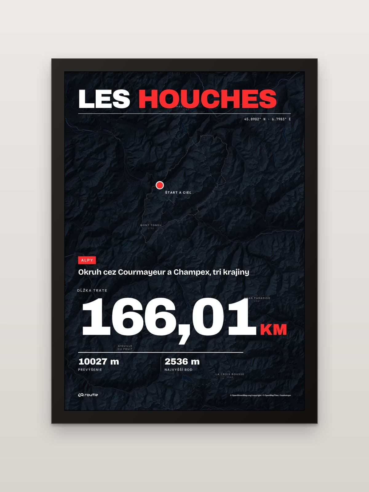
Each print comes in A5, A4 or A3 with a black or white frame, and every print is made to order. If you walked your own version, with a different variant or an extra rest day, upload the recording from your watch as a GPX, TCX or KML file and design a print of your own route.
More European hut-to-hut routes
If the Mont Blanc loop has you hooked, these are the next lines we have on the wall:
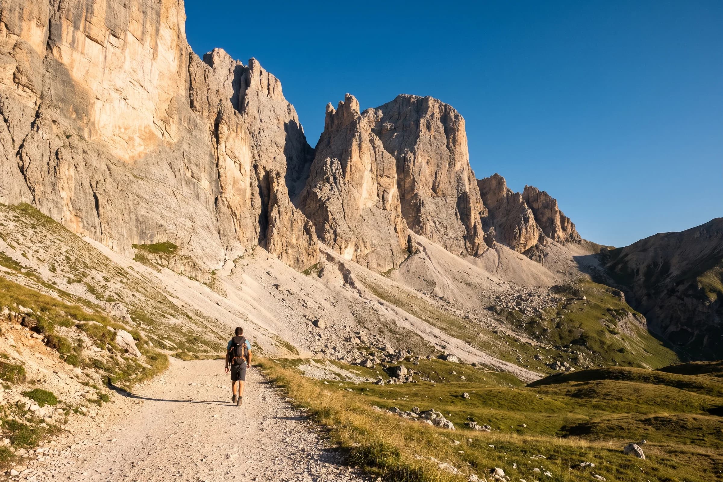
Dolomites, Lago di Braies to Belluno. A high route across the Dolomites, hut to hut. Stages, huts and the Tre Cime loop are in our guide to Alta Via 1 in the Dolomites.
Corsica, Calenzana to Conca. The mountain crossing of the island, which the French hiking federation describes as often considered the hardest long-distance path in France, even in Europe.
Triglav from Pokljuka. Slovenia’s highest peak, usually climbed over two days, with a steep final section on fixed cables.
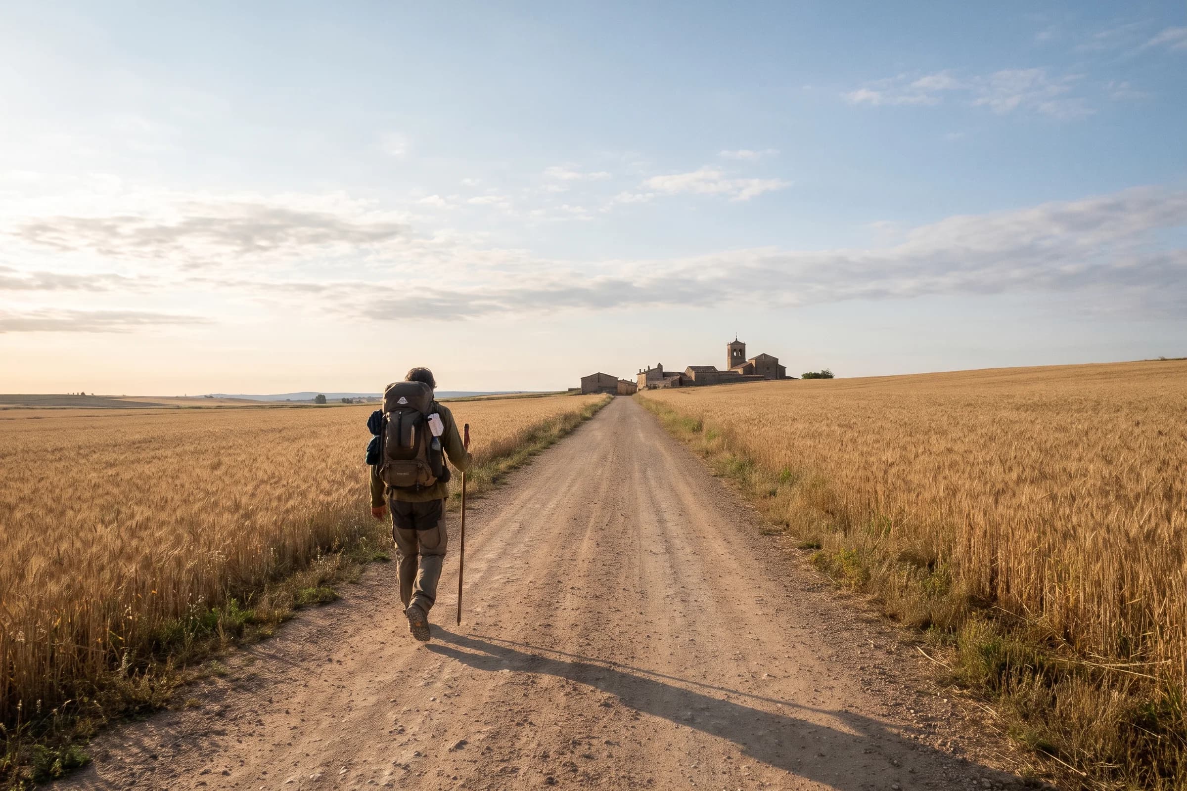
The Camino Francés. If you want distance without the passes, our guide to Camino Francés stages covers the classic pilgrim route across northern Spain.
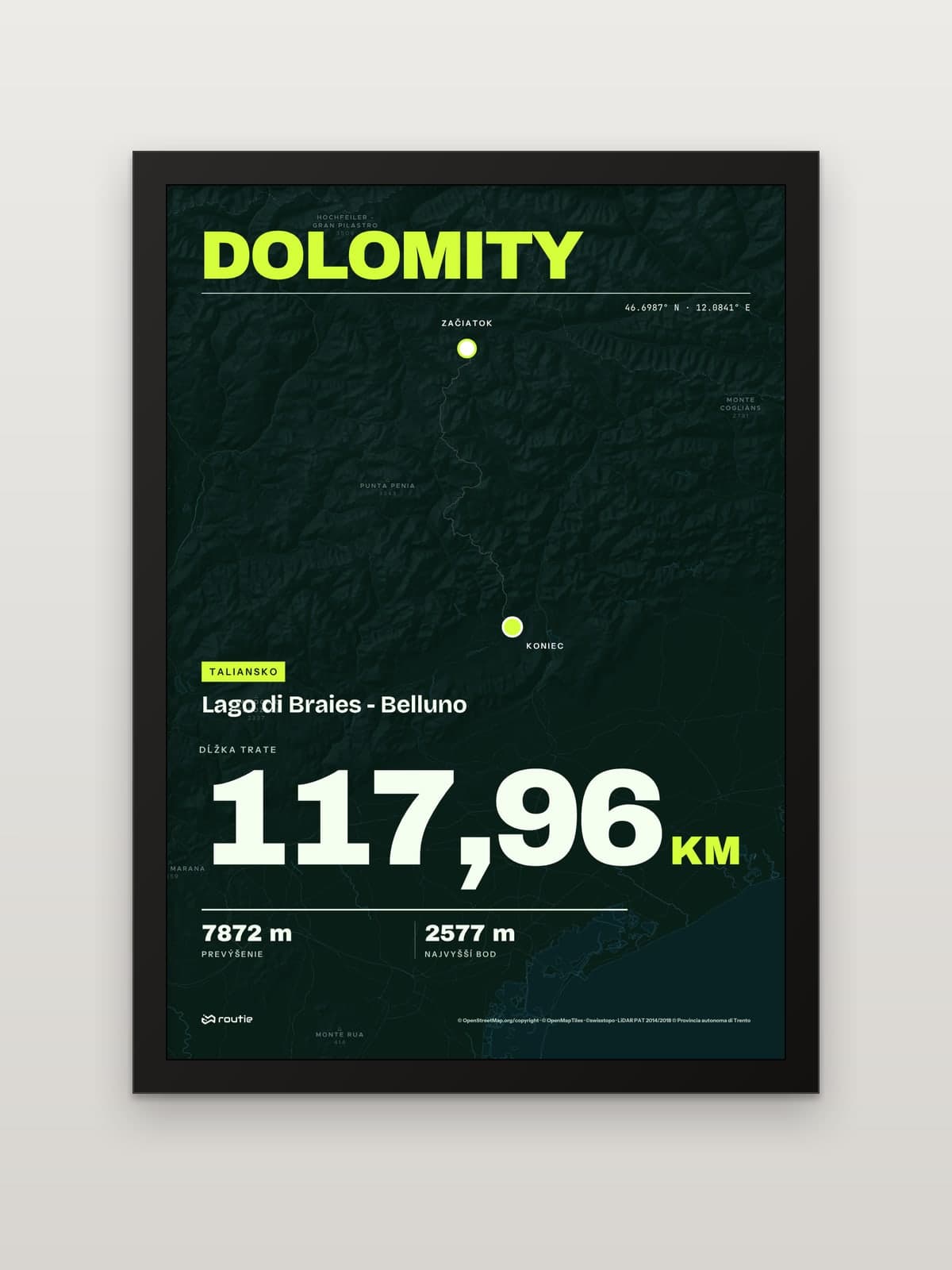 View Dolomites: Lago di Braies to Bellunofrom €35.00
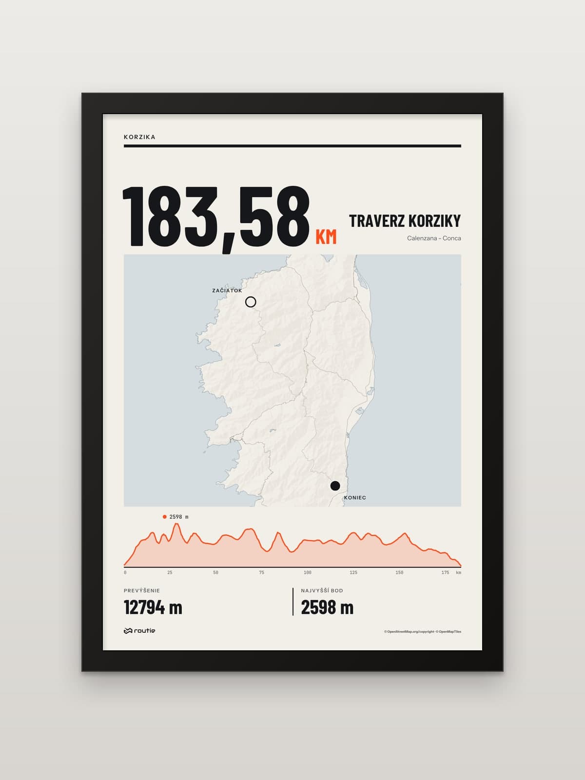 View Corsica traversefrom €35.00
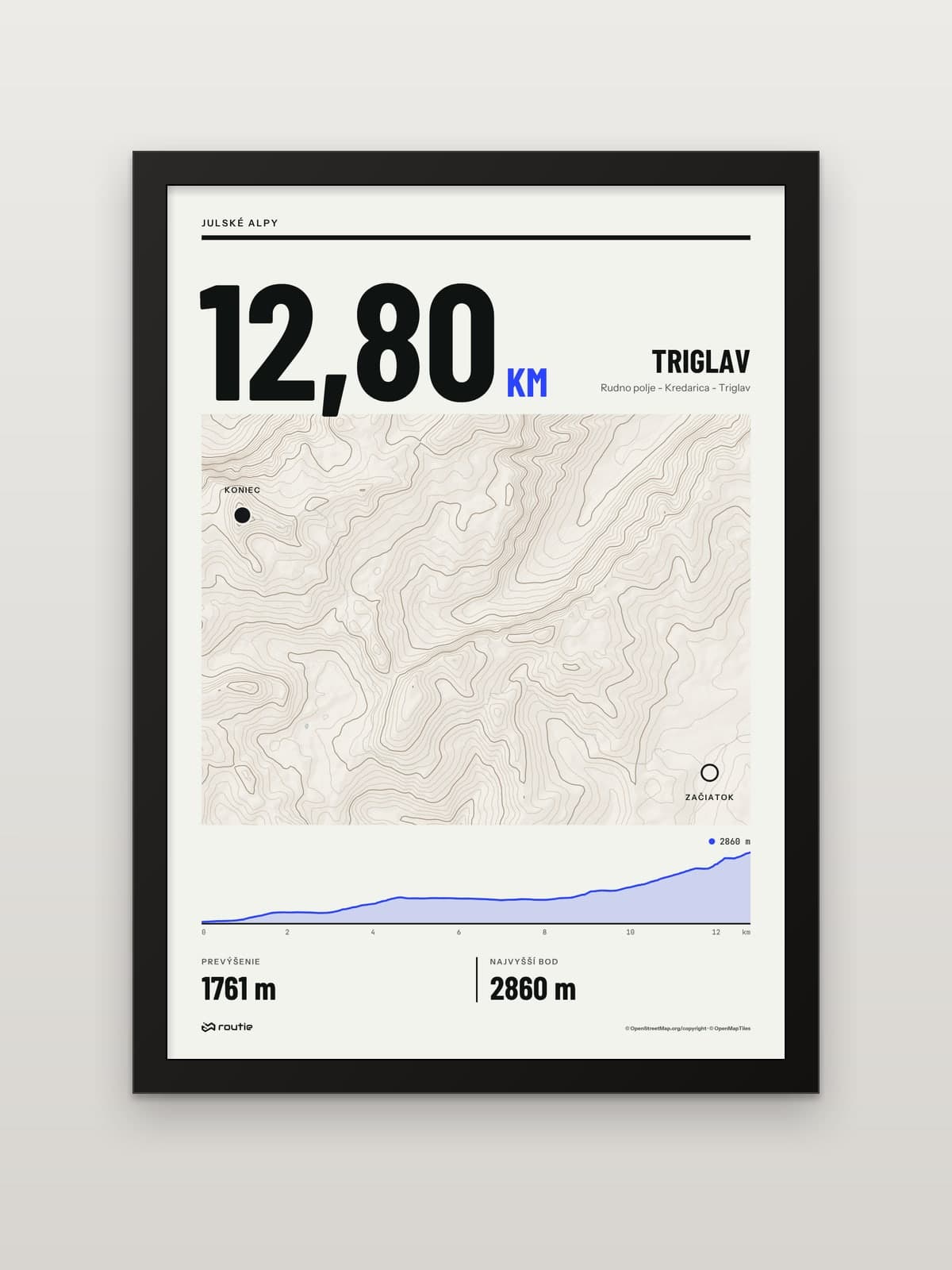 View Triglav from Pokljukafrom €35.00
Frequently asked questions
How long is the Mont Blanc loop in km and days?
About 170 km (roughly 106 miles) with around 10,000 m of ascent, usually over 7 to 12 days. The line on our print measures 166.01 km with 10,027 m of ascent; the exact figure depends on the variants you choose.
How hard is the trek around Mont Blanc?
Technically it is a waymarked mountain hike, but it is long. The official site puts the difficulty in the number of days, the weight of your pack and the total ascent, and suggests you should be able to walk 6 hours with 1,000 m of ascent carrying a rucksack, then do it again the next day.
Which direction should you walk it?
Anticlockwise is the most common direction and the best waymarked. The official site says clockwise is also possible and may help you find more availability if your dates are not flexible.
Do you need to book the huts?
Booking is strongly recommended and essential in high season, when some huts are fully booked months in advance. A deposit is paid when you reserve.