The best hikes in Slovakia: High Tatras, Low Tatras and Slovak Paradise
One list for a first trip to Slovakia: a tarn walk and two big summits in the High Tatras, the highest peaks of the Low Tatras, and the ladders of the Suchá Belá gorge in Slovak Paradise. With distances, ascent, timings and the seasonal closure explained.
, 7 min read
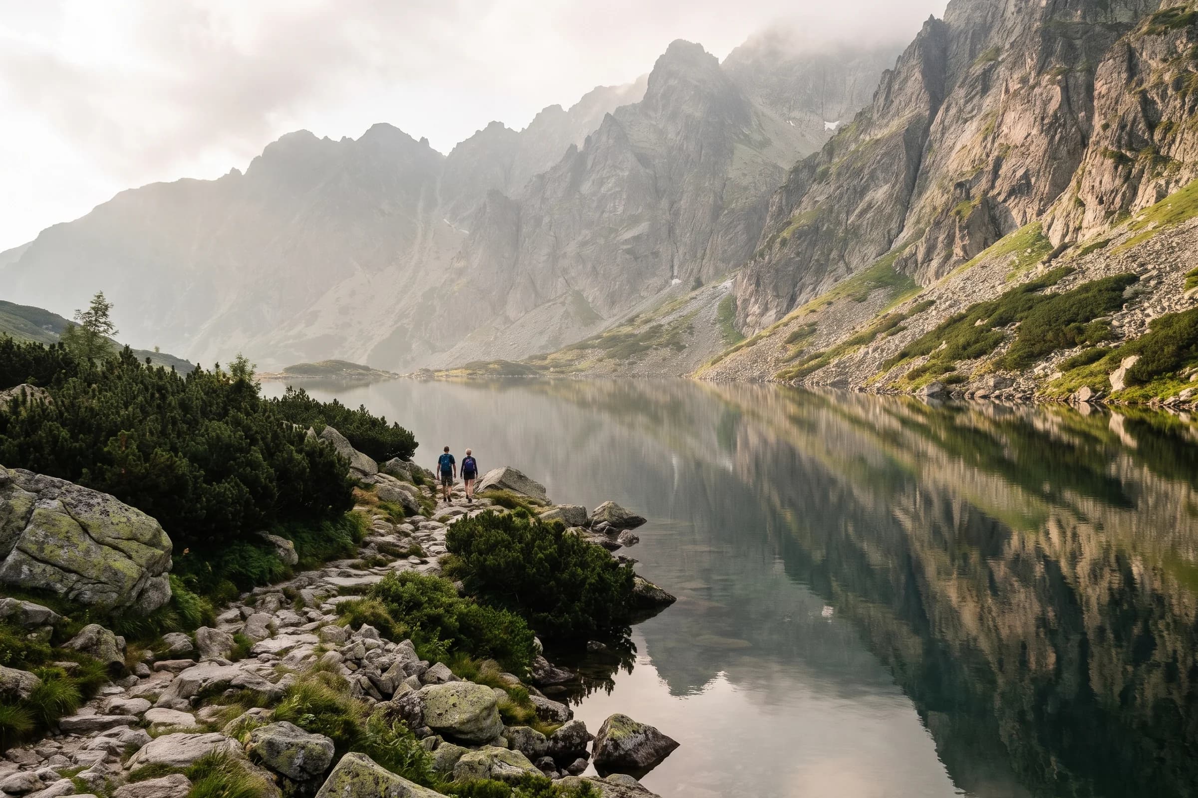
The best hikes in Slovakia sit in three areas. In the High Tatras, walk from Štrbské Pleso to the Popradské pleso tarn for an easy start, then climb Kriváň (2,494 m) or Rysy, whose border summit is Poland’s highest point. In the Low Tatras, go up Ďumbier (2,043 m), the highest peak of the range, or Kráľova hoľa. In Slovak Paradise, climb the ladders of the Suchá Belá gorge. One rule shapes every plan: the High Tatras’ mountain trails are closed from 1 November to 31 May.
Below is the list, easiest first, with what you need to choose between them.
The list at a glance
Popradské pleso from Štrbské Pleso, High Tatras: easy, 10.2 km return, 270 m, 3 hours.
Suchá Belá gorge, Slovak Paradise: moderate, 3.7 km through the gorge, about 420 m, about 2 hours, ladders.
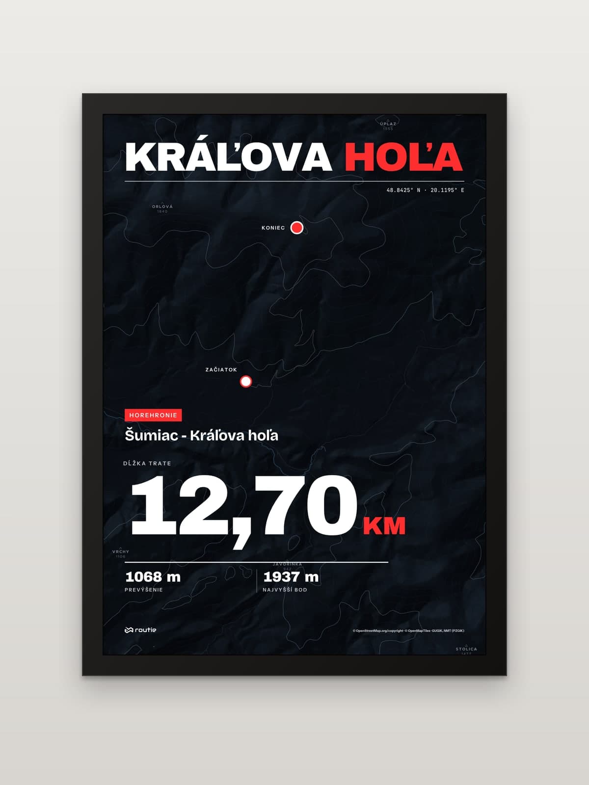
Kráľova hoľa from Šumiac, Low Tatras: our print follows the paved summit road, 12.70 km and 1,068 m up.
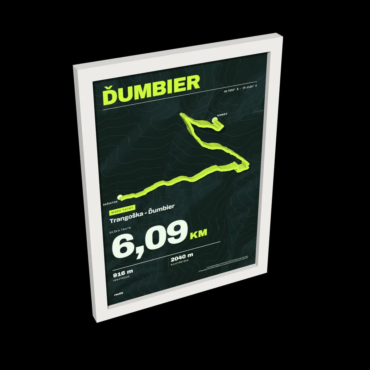
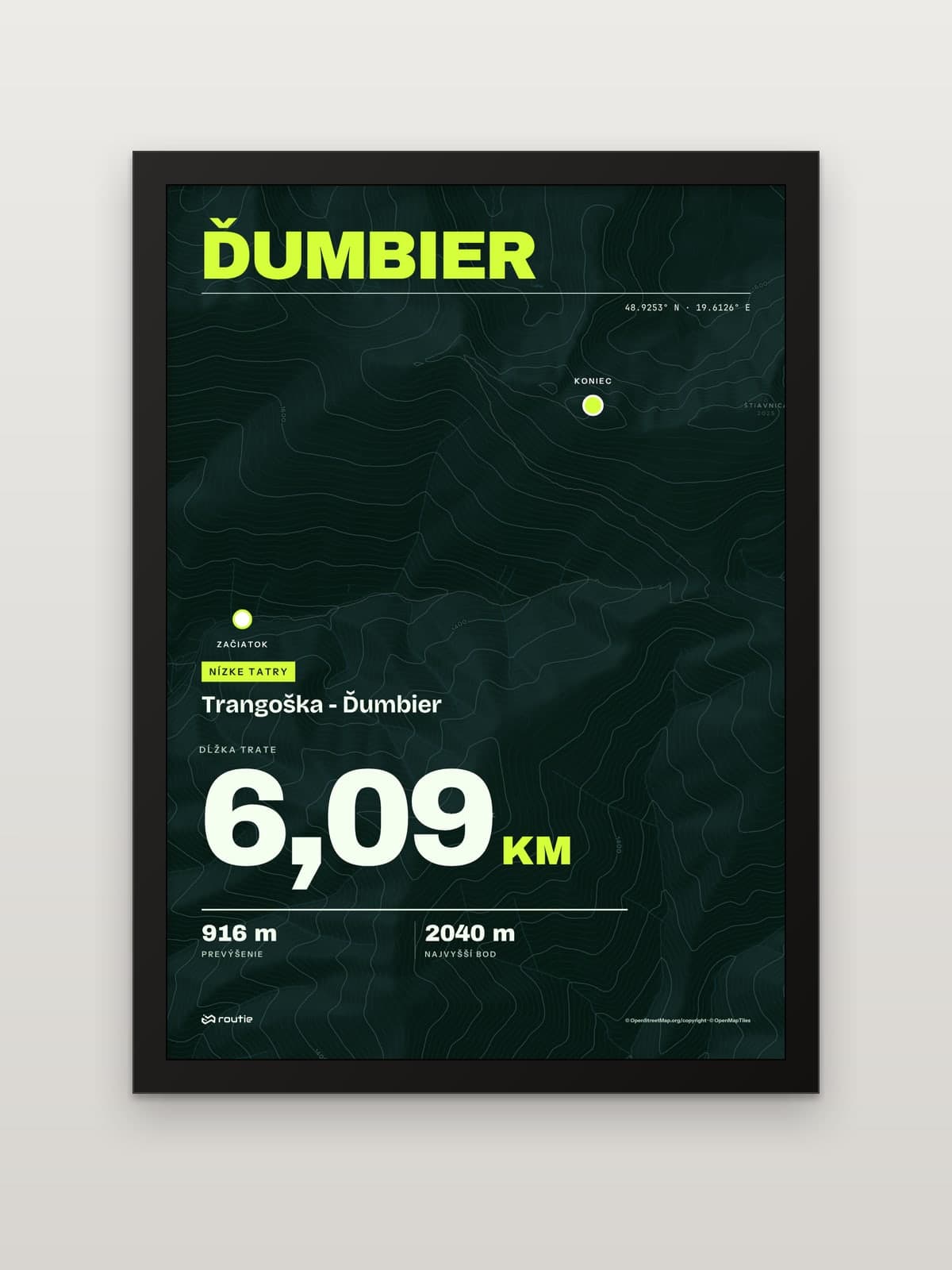
Ďumbier from Trangoška, Low Tatras: our line to the summit is 6.09 km with 916 m of climb.
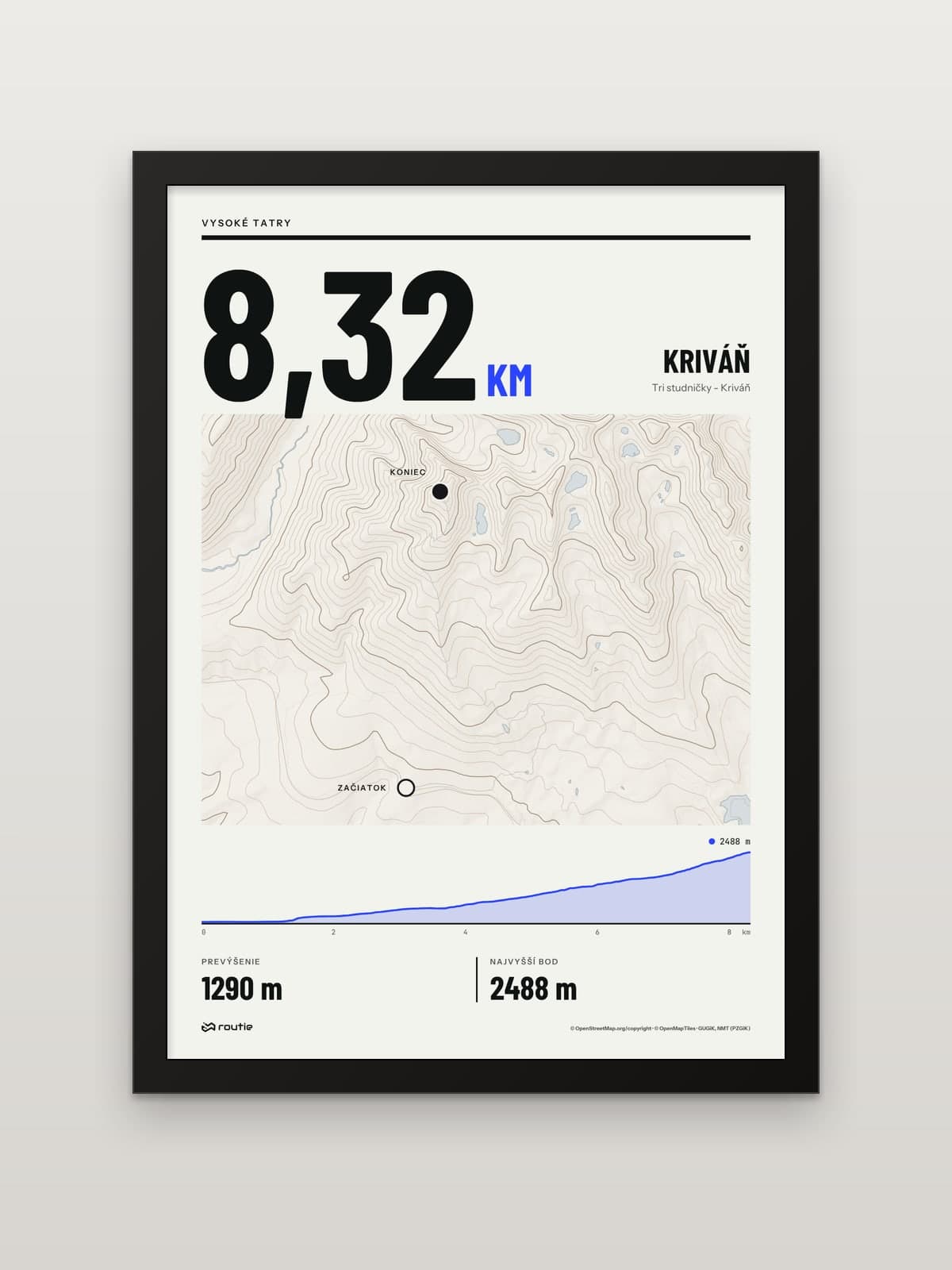
Kriváň from Tri studničky, High Tatras: demanding, 8.32 km and 1,290 m to the summit on our line.
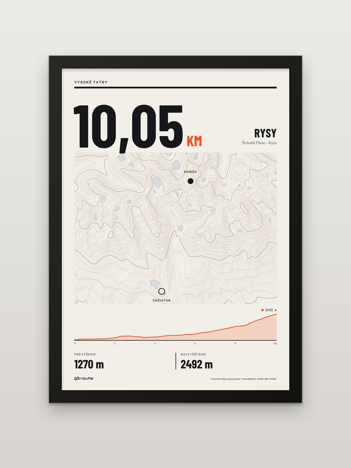
Rysy from Štrbské Pleso, High Tatras: demanding, 8½ hours for the loop, 1,250 m, chains.
High Tatras
The High Tatras hold the best-known summits on this list, and the strictest rules: every route here is in the Tatra National Park.
Štrbské Pleso to Popradské pleso (easy)
According to the Štrbské Pleso resort, this is an easy hike of 10.2 km with 270 m of ascent, about 3 hours there and back. You walk the red Tatranská magistrála trail through the forest, and on the way back you can detour to the Symbolic Cemetery at 1,525 m.
In winter the section of the magistrála from the Trigan junction to the junction above Popradské pleso is closed from 1 November to 31 May, according to the park’s list of trails under the seasonal closure. For snowy conditions the resort’s page sends you along the green trail from the junction instead.
Kriváň from Tri studničky (demanding)
Kriváň (2,494 m) is, in the words of Slovakia’s tourism portal, ‘considered the symbol of the national pride’, and in the 19th century Slovak patriots organised pilgrimages to its summit. The same page calls Tri studničky the most comfortable and quickest start: the green trail leads to Grúnik and then across the slope of Priehyba to a steep trough below the peak. The usual way down is the blue trail to Jamské pleso.
Our print starts at Tri studničky, not at Štrbské Pleso, and its line to the summit is 8.32 km with 1,290 m of climb. If you start at Štrbské Pleso, the Tatra information offices give 1 hour 10 minutes to Jamské pleso and 3 hours from the junction there to the top. Both Kriváň trails are closed from 1 November to 31 May.
Rysy from Štrbské Pleso (demanding)
The big one: a loop of 8½ hours with 1,250 m of ascent, fixed chains on the rock step below the Chata pod Rysmi hut, and a border summit that is Poland’s highest point. The summit trail is closed from 1 November to 31 May. We cover the route leg by leg, and the choice between the Slovak and Polish sides, in our Rysy hike guide.
Low Tatras
In the Low Tatras the classic long walk follows the red-waymarked main ridge from Donovaly to Telgárt, 93.46 km on our line. The range is a separate national park with its own visitor rules, so the High Tatras’ seasonal closure list does not cover it.
Ďumbier from Trangoška
Ďumbier, at 2,043 m, is the highest point of the Low Tatras National Park. Our print follows the line from Trangoška to the summit: 6.09 km with 916 m of climb, rising from about 1,138 m to the top.
Kráľova hoľa from Šumiac
Kráľova hoľa (1,946 m) is the tallest top in the eastern part of the Low Tatras and usually the start or finish of the Low Tatras ridge walk. Four major Slovak rivers, the Váh, Hron, Hnilec and Hornád, spring below it. Our print follows the paved summit road from the village of Šumiac with its hairpins: 12.70 km and 1,068 m up.
If you have several days, link these summits together: our guide to the Low Tatras ridge hike covers the red-waymarked ridge from Donovaly to Telgárt.
Slovak Paradise: the Suchá Belá gorge
Slovak Paradise is the opposite of the Tatras: no summits, but gorges with waterfalls, ladders and steps. The best known is Suchá Belá. According to the national park’s site it is 3.7 km long, climbs about 420 m and takes about 2 hours.
Know before you go:
It is one-way only, upstream. You come down by another trail.
You pay a visitor’s fee when you enter the gorge, which starts right in the Podlesok tourist centre.
It is open all year, but in winter the ladders can be covered in ice, and the park recommends crampons.
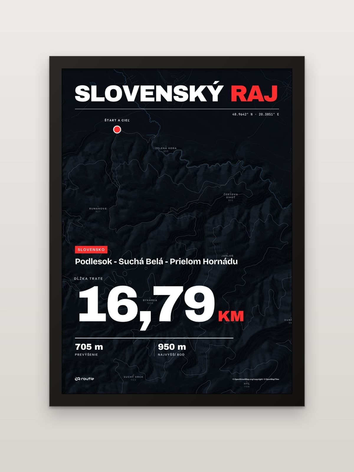
Our print makes a full day of it: a closed loop from Podlesok up Suchá Belá to Kláštorisko, down to Letanovský mlyn and back through the Hornád gorge, 16.79 km with 705 m of climb.
High Tatras or Low Tatras?
Choose the High Tatras if you want the big summits and can come between June and October. Rysy and Kriváň are both over 2,490 m, and the trails to them are closed from 1 November to 31 May.
Choose the Low Tatras if you want a long ridge and a multi-day walk. The highest point, Ďumbier, is 2,043 m, and the ridge has its own national park and visitor rules.
Choose Slovak Paradise for a half-day or full day of gorges and ladders, especially if the weather is too poor for the high mountains.
Safety in the Slovak mountains
Mountain rescue: 18 300. Save the number before you go.
Insurance. Since 1 July 2006 an adult pays the costs of their own rescue or search in a mountain area, according to the Slovak mountain rescue service. Buy mountain rescue cover before your trip.
Daylight. In the Tatra National Park you may hike on marked trails in daytime only, except when walking to a hut to stay the night.
Keep the hike
Each of these routes is available as a ready-made print. We 3D-print the route in matt PLA and stick it to the glass exactly above the route on the map. Its height follows the terrain, and the higher parts stand proud of the frame. Choose the A5, A4 or A3 size and a black or white frame.
Walked your own variation, Kriváň from Štrbské Pleso perhaps? Upload a GPX, TCX or KML file from your watch or app and create a print of your own route. And if you are shopping for someone who has done them all, see our gifts for hikers.
Frequently asked questions
What are the best day hikes in Slovakia?
For an easy day, Štrbské Pleso to Popradské pleso (10.2 km return, 3 hours). For a moderate one, the Suchá Belá gorge in Slovak Paradise (3.7 km, about 2 hours, ladders). For a summit, Ďumbier or Kráľova hoľa in the Low Tatras, or Kriváň and Rysy in the High Tatras between June and October.
High Tatras or Low Tatras?
The High Tatras are higher, with Rysy and Kriváň over 2,490 m, and their mountain trails close from 1 November to 31 May. The Low Tatras peak at 2,043 m on Ďumbier and suit a long ridge walk over several days.
What are the best hikes in Slovak Paradise?
The Suchá Belá gorge is the best known: 3.7 km, about 420 m of ascent, around 2 hours, one-way upstream with ladders and steps. Our loop combines it with Kláštorisko and the Hornád gorge for a full day of 16.79 km.
When are the trails in the High Tatras closed?
From 1 November to 31 May, on the mountain trails in the 40 entries of the Tatra National Park’s closure list, including those to Rysy and Kriváň. The trail in the Juráňova valley closes from 1 November to 30 April.