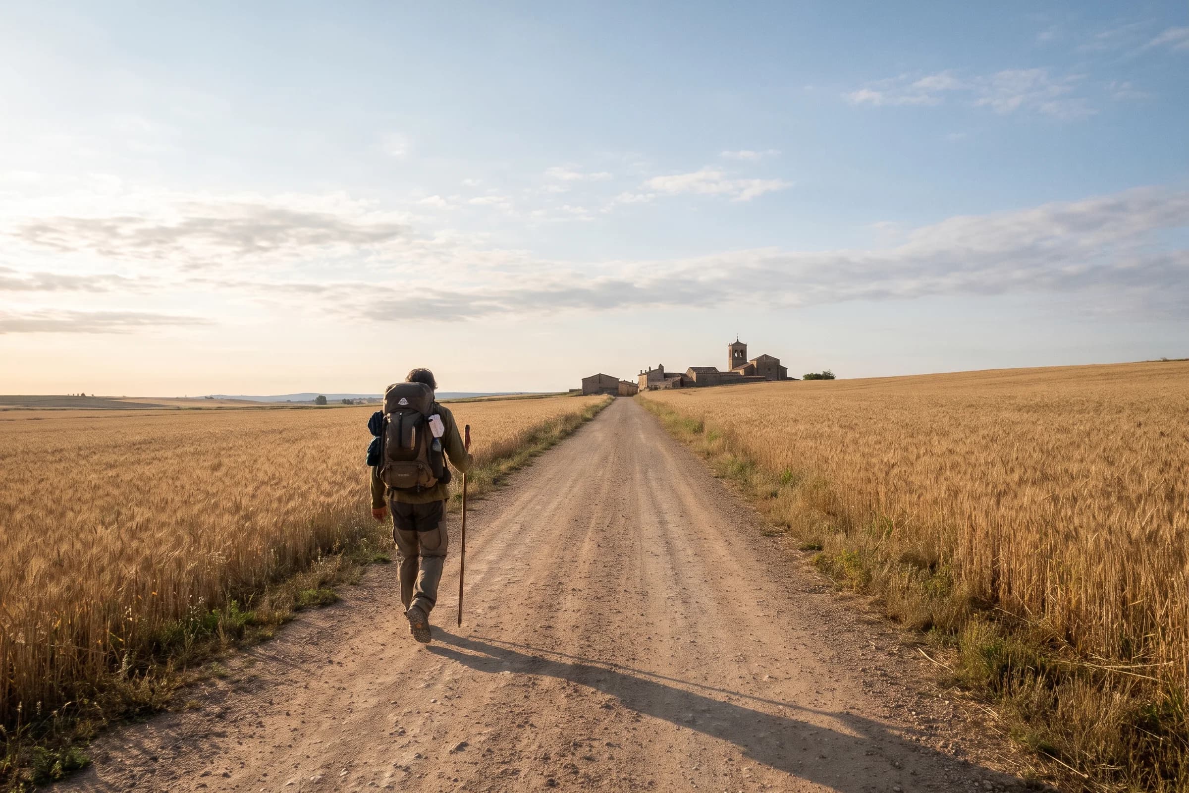
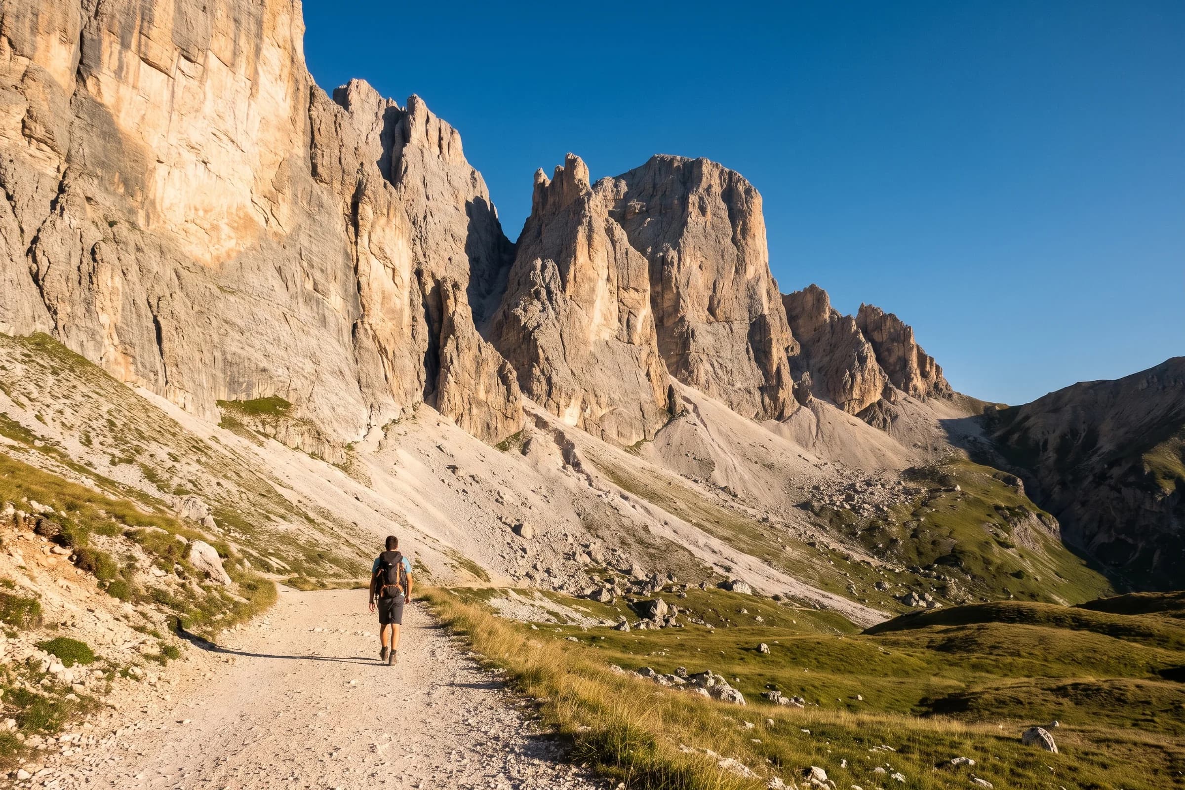
The Low Tatras ridge hike: Slovakia’s classic multi-day trek
The red-waymarked main ridge of the Low Tatras, from Donovaly to Telgárt, is the high point of Slovakia’s SNP trail and a slice of the E8. Here is the route with distances between its key points, the summits just off the trail, planning tips and the shorter ridge walks nearby.
, 7 min read
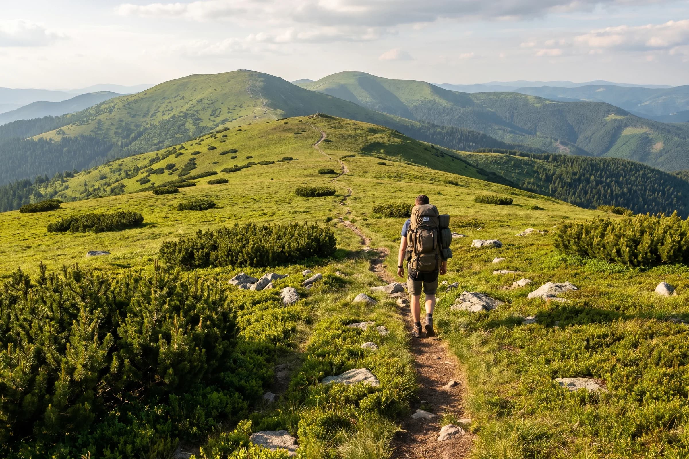
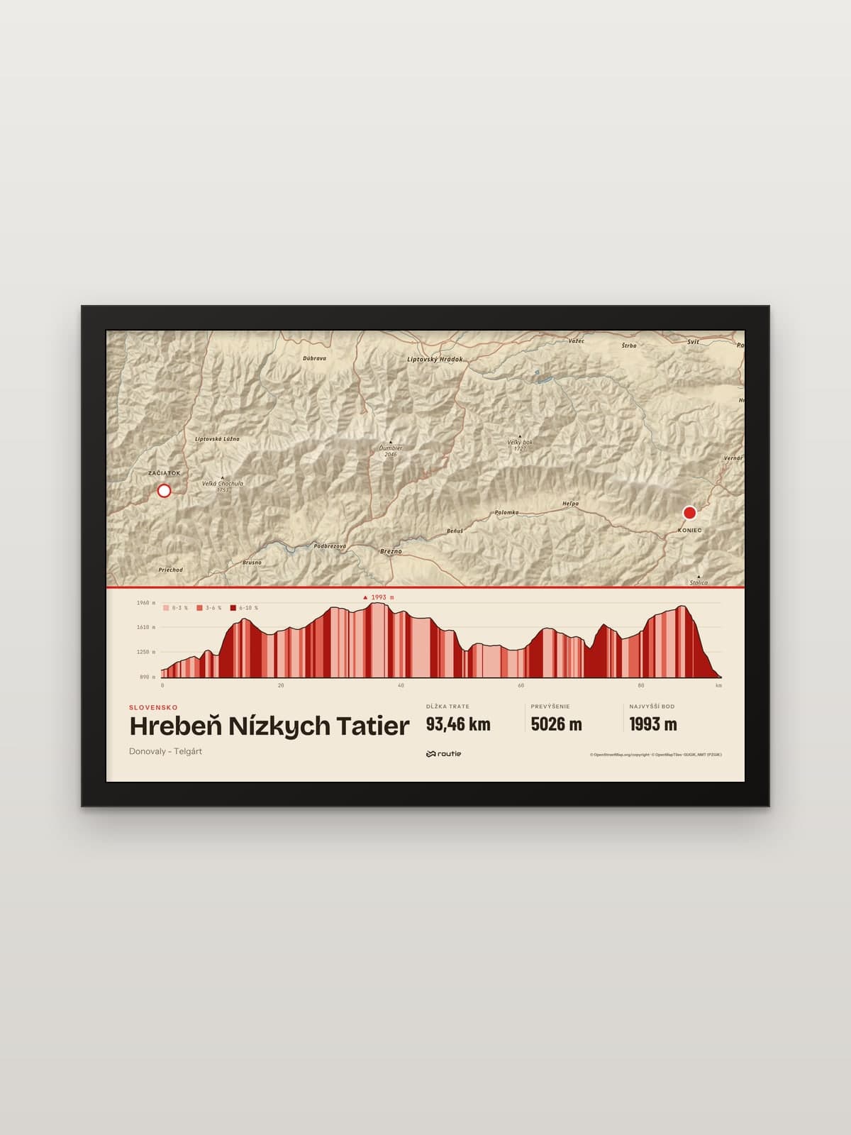
The Low Tatras ridge hike follows the red-waymarked trail along the main ridge of the Low Tatras, from Donovaly in the west to Telgárt in the east. It is part of the SNP trail, the long-distance path across Slovakia, which in turn is the Slovak section of the European E8. On our print, drawn from OpenStreetMap, the ridge line is 93.46 km long with 5,026 m of ascent, passing just below Chopok, around Ďumbier and over Kráľova hoľa. Plan it as a multi-day trek with huts along the way.
Below are the route and its distances, the summits worth a detour, practical planning and the shorter ridges nearby.
The ridge at a glance
Start and finish: Donovaly and Telgárt, walkable in either direction.
Distance: 93.46 km on our line, with 5,026 m of ascent and 883 to 1,993 m above sea level.
Waymarks: red, as part of the SNP trail; the SNP trail’s guide describes white-red-white rectangles in both directions.
Highest point: the SNP trail guide gives Chopok (2,024 m) as the highest point of the whole trail; our line passes just below its summit at 1,993 m.
Highest summit nearby: Ďumbier (2,043 m), the highest point of the Low Tatras National Park, a short detour from the trail.
The route, west to east
Distances below are measured along our line from Donovaly.
Donovaly to Chopok (about 37 km)
From Donovaly the trail climbs east onto the main ridge. Chopok, at about 37 km, is where our line reaches its highest point, 1,993 m, just below the summit.
Chopok to Čertovica (about 37 to 50 km)
East of Chopok the line passes around Ďumbier. On our line the red trail skirts the summit itself by about half a kilometre, so if you want the highest peak of the range, take the detour. Ďumbier is 2,043 m according to the Low Tatras National Park administration. The trail then drops to the Čertovica pass at about 50 km.
Čertovica to Kráľova hoľa (about 50 to 87 km)
The eastern half is the longer one. It ends on Kráľova hoľa (1,946 m), the tallest top in the eastern Low Tatras and, according to Slovakia’s tourism portal, usually the start or finish of the ridge walk. Four major Slovak rivers, the Váh, Hron, Hnilec and Hornád, spring below it.
Kráľova hoľa to Telgárt (about 87 to 93 km)
The last six kilometres take you down from the summit to Telgárt, where the SNP trail continues east.
Part of the SNP trail and the E8
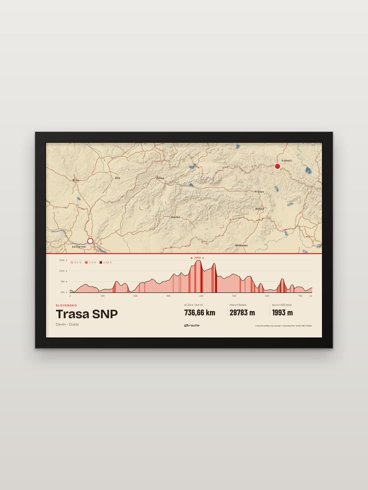
The ridge is one stretch of the SNP trail, Cesta hrdinov SNP, which runs from the Dukla Pass in the north-east to Devín in Bratislava. In 2022 the Slovak Ministry of Defence reported that commemorative stones would mark both ends, in a project of the Slovak Hikers’ Club. The independent guide snptrail.com gives the whole trail as 760 km with 31 km of ascent, part of the E8 path from Ireland to Turkey, and an average of 25 to 30 days to walk it.
Lengths vary by source. Our print of the whole trail follows the hiking route relation in OpenStreetMap and measures 736.66 km with 28,783 m of ascent. On that line the Low Tatras ridge starts about 287 km from Dukla at Telgárt and ends about 381 km from Dukla at Donovaly.
If you are weighing the SNP trail against Europe’s better-known long-distance paths, our guide to the Camino Francés stages is a good comparison.
Planning the trek
Accommodation and water. According to snptrail.com the SNP trail has huts, guest houses, B&Bs, hotels and campsites, and you will always find a spring of fresh water. The guide says that, if you do not mind an occasional bivouac, you can walk the whole Slovak section without a tent.
Park rules. The ridge lies in the Low Tatras National Park, which has its own visitor rules. The High Tatras’ seasonal closure from 1 November to 31 May is a rule of the Tatra National Park and its list of closed trails does not cover the Low Tatras.
Mountain rescue. Call 18 300. Since 1 July 2006 an adult pays the costs of their own rescue in a mountain area, so take out mountain rescue insurance.
Splitting it. Chopok, Čertovica and Kráľova hoľa divide the ridge into sections of about 37, 13, 37 and 6 km. Plan your nights around the huts and the weather, not around the map.
Day hikes on the ridge
No time for the whole thing? Climb one of its summits instead:
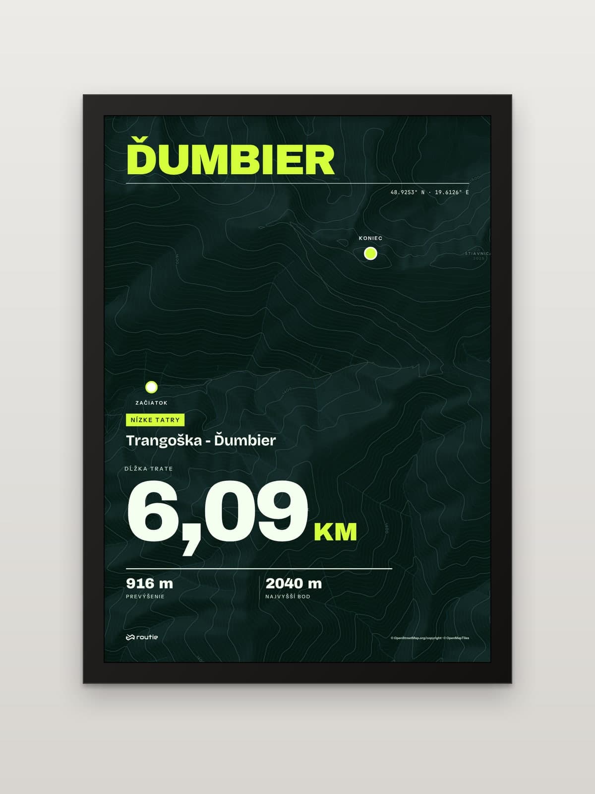
Ďumbier from Trangoška: 6.09 km and 916 m to the top of the Low Tatras.
Kráľova hoľa from Šumiac: 12.70 km and 1,068 m up the paved summit road with its hairpins.
More ridge walks in Slovakia
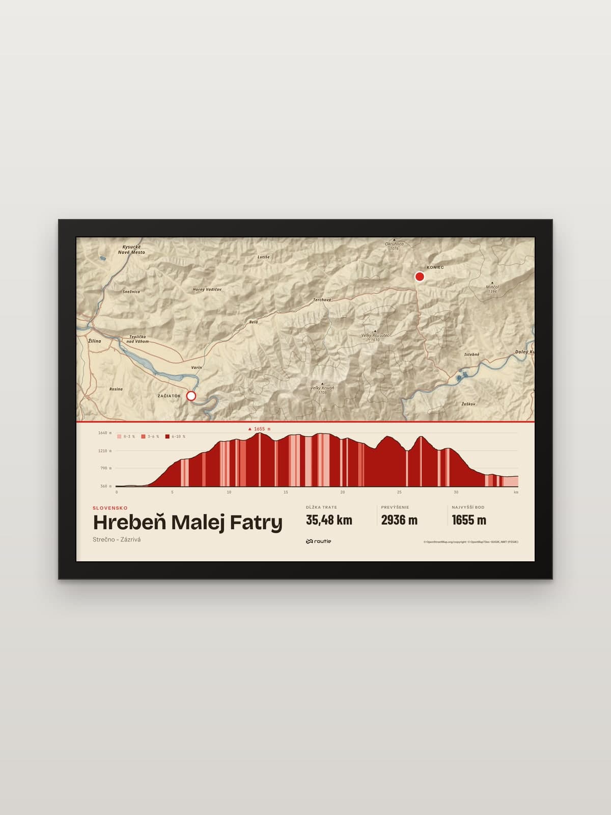
The Low Tatras are the longest ridge here, not the only one. The Malá Fatra ridge follows the red trail from Strečno over Suchý, Malý Kriváň, Chleb, Stoh and Veľký Rozsutec to Zázrivá: 35.48 km with 2,936 m of ascent on our print. It is shorter, but there is more climbing per kilometre.
For single summits in the High Tatras, Low Tatras and Slovak Paradise, see our list of the best hikes in Slovakia, and for the big one, the Rysy hike.
The best treks in Slovakia
If you are planning more than one trip, these are the long lines we print, from longest to shortest:
The SNP trail, Dukla to Devín: 736.66 km on our line, 25 to 30 days on average according to snptrail.com.
The Low Tatras ridge, Donovaly to Telgárt: 93.46 km and 5,026 m of ascent.
The Tatranská magistrála, the red trail no. 0930 along the southern slopes of the High Tatras, from Podbanské to Kopské sedlo: 50.14 km and 2,692 m. Several of its sections are closed from 1 November to 31 May, so walk it in summer.
The Veľkofatranská magistrála, from Ľubochňa over Kľak, Ploská and Ostredok to Krížna, where it meets the SNP trail: 42.04 km and 3,396 m.
The Malá Fatra ridge, Strečno to Zázrivá: 35.48 km and 2,936 m.
The Low Tatras ridge is the one to start with: it is long enough to feel like a real trek, it is part of the SNP trail, and it gives you the highest ground of the whole route.
The ridge on your wall
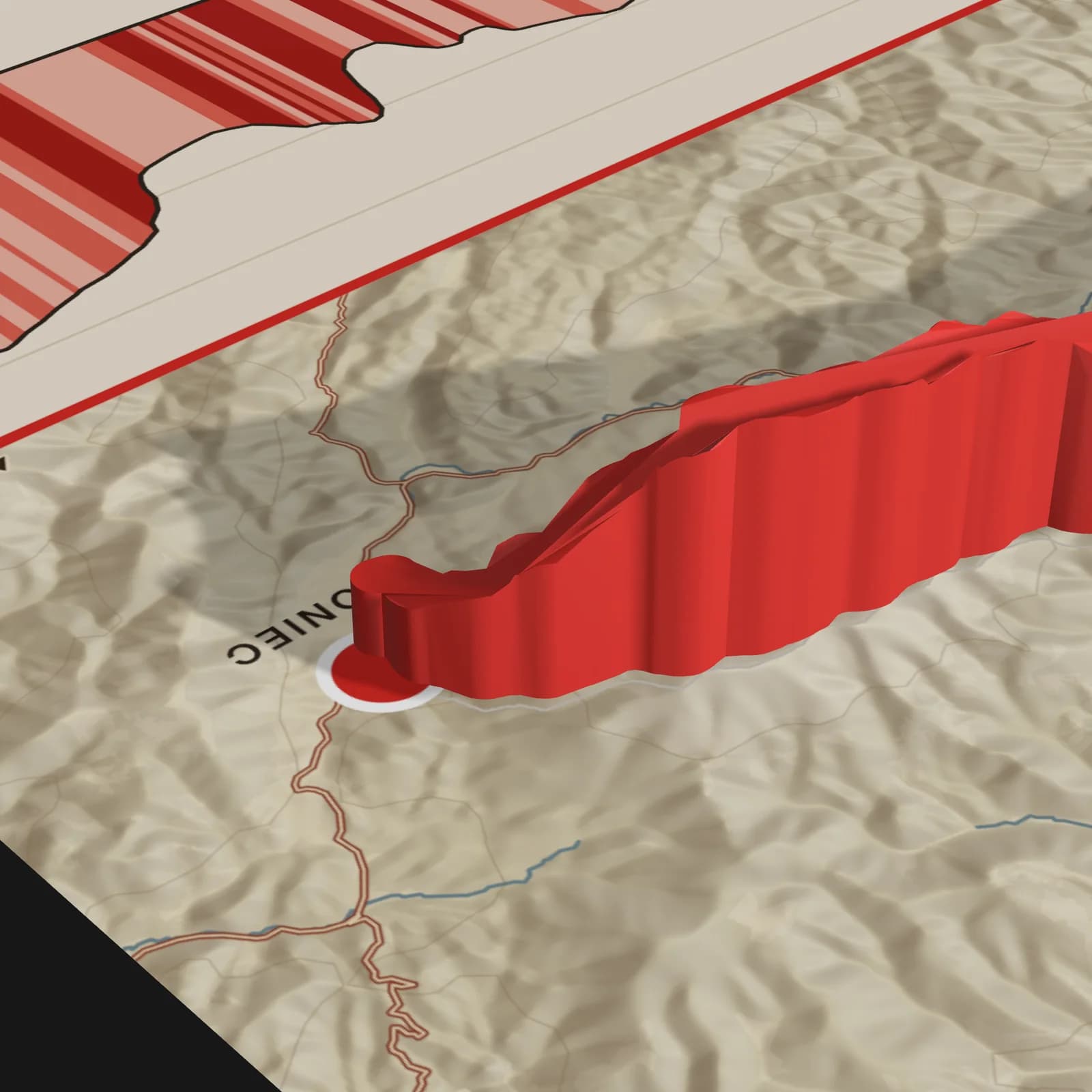
A multi-day ridge is hard to show in a photo. On our prints the route is 3D-printed in matt PLA and stuck to the glass exactly above the route on the map; its height follows the terrain, so the climbs and saddles of the ridge rise and fall in relief, and the higher parts stand proud of the frame. Choose the A5, A4 or A3 size and a black or white frame.
Walked a different stretch? Upload a GPX, TCX or KML file from your watch or app and create a print of your own route. Shopping for someone who has done the ridge? See our gifts for hikers.
Frequently asked questions
How long is the Low Tatras ridge hike?
From Donovaly to Telgárt, 93.46 km with 5,026 m of ascent on our OpenStreetMap line. Key points along the way are Chopok at about 37 km, Čertovica at about 50 km and Kráľova hoľa at about 87 km.
Low Tatras or High Tatras?
For a multi-day ridge walk, the Low Tatras: one waymarked ridge of over 90 km in its own national park. For single high summits like Rysy and Kriváň, the High Tatras, whose mountain trails are closed from 1 November to 31 May.
How long is the SNP trail?
Sources differ: snptrail.com gives 760 km, and our OpenStreetMap line from Devín to Dukla measures 736.66 km. The guide puts the average walk at 25 to 30 days.
What is the highest point of the Low Tatras?
Ďumbier, at 2,043 m. The red ridge trail passes below its summit, so it is a short detour.